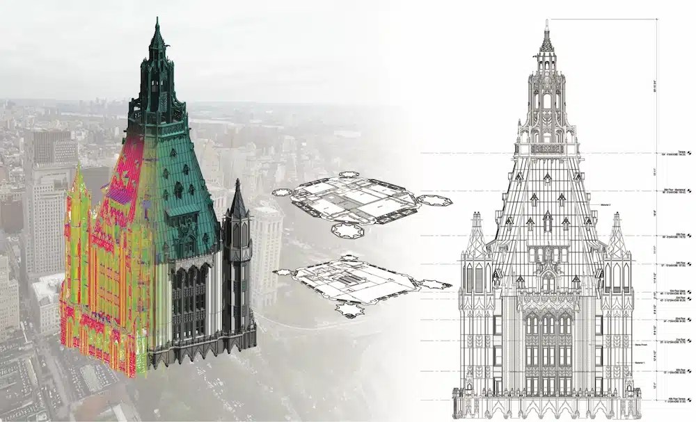
 Reality Capture and BIM in SiteMap Reality capture and Building Information Modeling, or BIM, help teams document, visualize, and manage existing facility conditions. In SiteMap, you can store these deliverables alongside utility maps, 2D CAD drawings, 3D BIM models,...
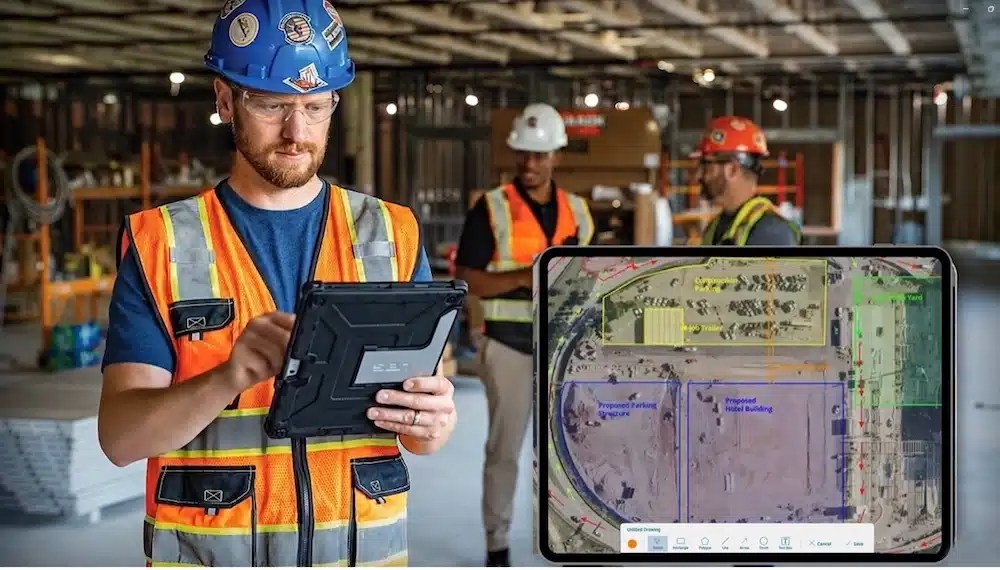 Augmented Reality in the AEC Industry: How SiteMap Puts Infrastructure Data Where You Need It What Augmented Reality Means in Construction Most construction data lives in the wrong place. Utility maps stay in the trailer. BIM models sit on project managers’ laptops....
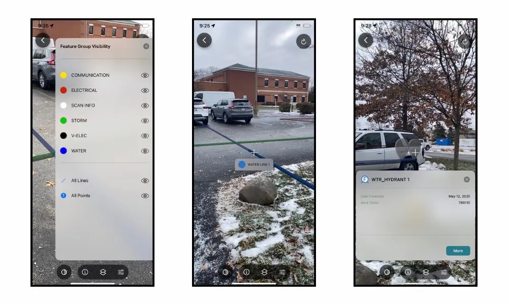
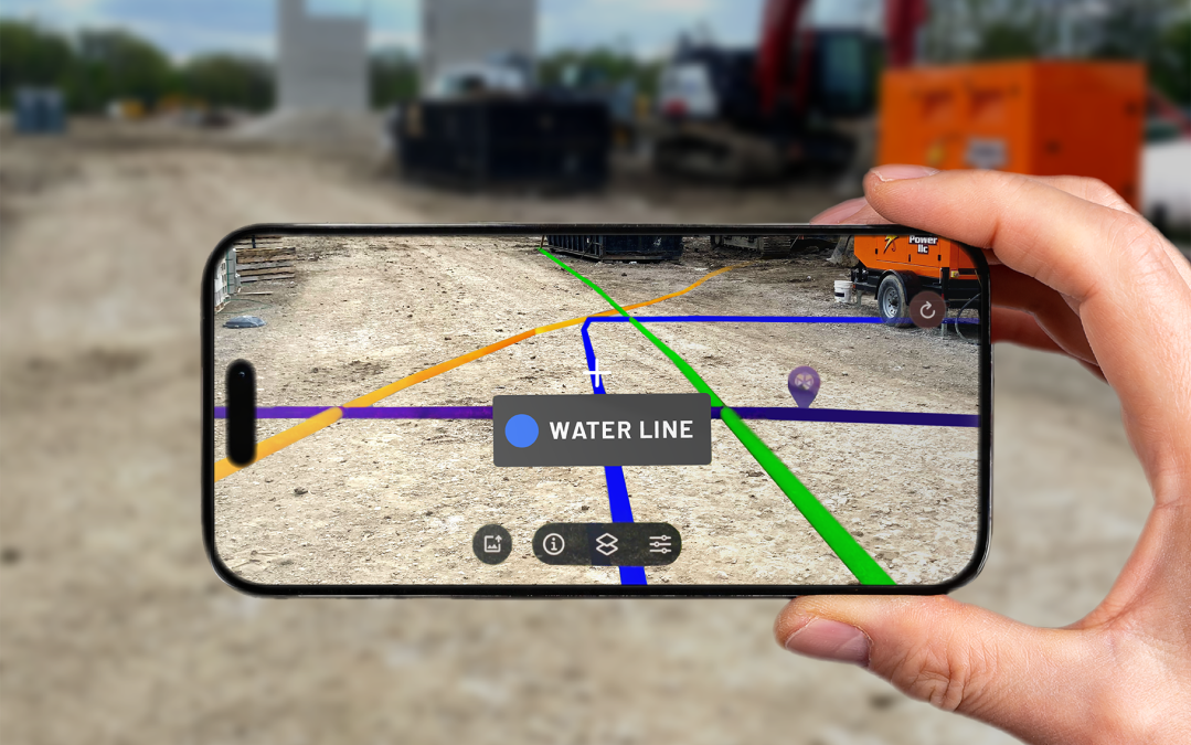 A utility marking can be clear one day, then gone the next. When markings fade or flags disappear, it becomes difficult to know exactly where utilities are located. The SiteMap® mobile app introduces one of the biggest new features in SiteMap 3.0: augmented reality...
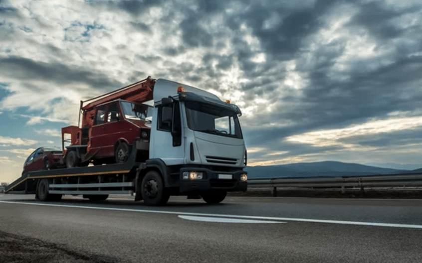 The Rig That Got You Here Won’t Get You There If you’re a contractor, you’ll never forget your first truck. It hauled what you needed, when you needed it, and got the job done. For a while, that was enough. Then the jobs got bigger. You went from two jobs at once, to...
 What is the Fourth Industrial Revolution? According to IBM, Industry 4.0, or the Fourth Industrial Revolution, is “the realization of the digital transformation of the [manufacturing], delivering real-time decision-making, enhanced productivity, flexibility, and...
