
The Rig That Got You Here Won’t Get You There
If you’re a contractor, you’ll never forget your first truck. It hauled what you needed, when you needed it, and got the job done. For a while, that was enough.
Then the jobs got bigger. You went from two jobs at once, to five, to jobs in cities you’d never worked before. One truck, no matter how reliable, can’t be in three places at once. At some point, you have to stop thinking about vehicles and start thinking about a fleet. Same dependability, replicated at scale. According to FMI industry outlook reporting, contractors pursuing growth often experience operational strain around coordination, workforce management, and execution as project complexity increases.
Coordination among designers, builders, and stakeholders is the key to success on and off the field.
Construction companies hit the same inflection point with subcontractors. Early on, working with a handful of local vendors makes sense. They’re accessible, the relationships are personal, and the volume doesn’t demand anything more. But as your company scales, the patchwork approach starts to wear down. Response times vary too much for owners.
Subcontractor capabilities vary widely, and safety cultures can’t be counted on to match your company’s standards. What worked at a certain size becomes friction at the next level.
The companies that grow past that friction stop hiring subcontractors on a job-by-job basis and find the subs they can standardize. Better still, they find a single partner who can handle everything from utility locating and concrete scanning to leak detection, sewer inspection, 3D laser scanning, and customized CAD/BIM deliverables.
One relationship. One standard. One call.
The Set-It-and-Forget-It Standard
What does a set-it-and-forget-it subcontractor really look like?
They Stay Ahead of the Trade
It starts with genuine investment in the trade. The best partners in any specialty aren’t coasting on what they know “just works.” They’re tracking where the technology and the standards are heading, and they’re meeting or exceeding those marks. That commitment to staying current is what separates a vendor from a long-term asset.
Precision matters, too. A partner who delivers a 99.8% accuracy rate on utility locates and concrete scans isn’t just protecting your project from costly errors – they’re protecting your schedule, your budget, and your liability exposure. That level of precision is a direct output of training and technology investment, not something you get from the lowest bidder.
It also matters how a subcontractor’s people are empowered on the job. The best partners don’t send operators. They send Project Managers – professionals who conduct pre- and post-job site walks, consult on scope, and take ownership of delivering what you actually need to complete the job, not just what you thought you needed when you placed the call.
SiteMap® is GPRS’s proprietary GIS platform that shows you the hidden layers of your project. It’s a centralized record of every utility, structural element, and subsurface feature GPRS has collected on your project, available 24/7. Instead of hunting down old PDFs or chasing field reports, project teams can view, share, and collaborate on accurate site data from any device. Having a tool like SiteMap is the difference between quickly outdated deliverables and one living document.
Augmented Reality overlays subsurface utility data directly onto a live camera view of the job site. Where traditional ground penetrating radar (GPR) produces a marked-up slab or a plotted map, AR makes the invisible literally visible in real time, showing field crews and project managers exactly what’s below the surface before a single cut or core is made.

Augmented Reality in construction can be used to show where buried utility and water lines are.
My Dig Board is a personalized dashboard within SiteMap that gives each user a consolidated view of their active projects, and site documentation, purpose-built for the way construction teams actually manage multiple jobs simultaneously. No more toggling between systems or waiting on someone else to pull a report.
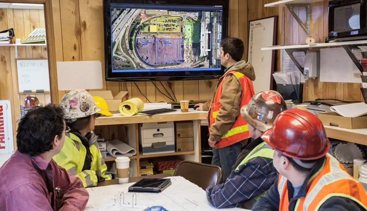
Many construction teams are migrating to digital whiteboards for better daily communication among Project Managers, Field Teams, and Subcontractors.
History Slider
The job history slider lets users compare two points in time from the same site view by dragging between an earlier scan and a current one to see exactly what has changed, what has been added, and what may have shifted. On multi-phased projects, that kind of visibility enables you to catch problems before they become costly change orders.
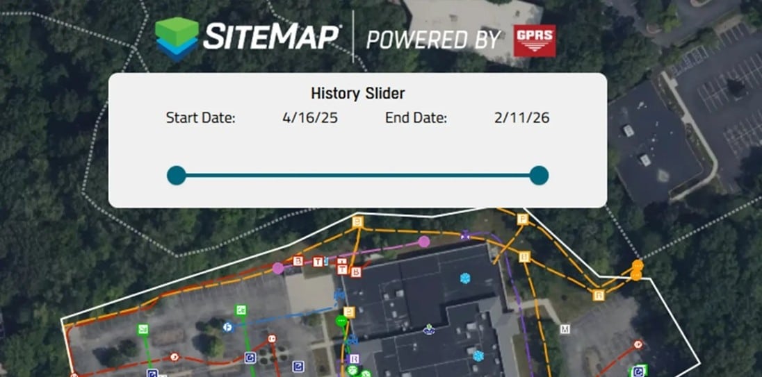
With so many digital tools available, straightforward platforms like SiteMap offer practical, field-tested features that enhance communication.
They Show Up Anywhere, Fast
It also means national reach with immediate local responsiveness. Growth-stage companies don’t always know where the next project is. A crew that can be on-site in a new region within 48 hours without the GC having to source, vet, and onboard someone new eliminates extra variables on already-complex jobs.
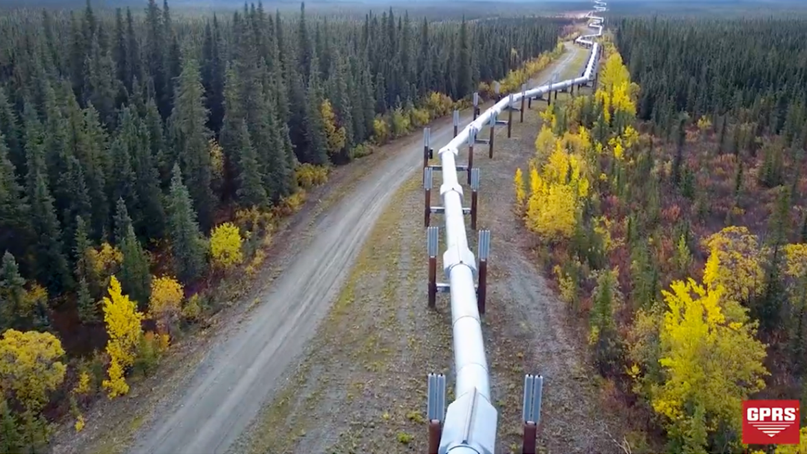
With pipelines that stretch across thousands of miles of rural areas, oil and gas companies want to work with contractors who can service quickly and efficiently.
Thank you for reading this excerpt. Read the full article here to learn why choosing the right partners is critical to protecting your reputation, maintaining safety, and ensuring project success.
Click below to schedule your free SiteMap demo!
FREQUENTLY ASKED QUESTIONS
How do I export data from SiteMap?
Exporting is simple. From your Digital Plan Room or Map Viewer, you can download files in formats like DWG, PDF, or orthophotos. This lets you take interactive maps and records from SiteMap into CAD, GIS, or other software without disrupting your workflow.
Can SiteMap scale as my portfolio grows?
Yes. SiteMap was created to accommodate scalability. Whether you oversee a single facility or a nationwide portfolio, the platform merges your data into one interactive system. You can keep adding new projects using the same workflow. This lets you expand without changing your process.
How secure are my records in SiteMap?
SiteMap uses a cloud-based setup with controlled access permissions, so your data stays safe and recoverable. All files, maps, and attachments are stored in one central location. This makes collaboration simple and cuts the risk of losing data.