From Center Field to Construction Site, SiteMap® Keeps Your Data in Play
GPRS Project Managers bring more than expertise to the job; they bring heart. With every project comes a commitment to helping keep your team safe, your timeline intact, and your budget on track.
Few projects, however, felt as personal as the utility locating and mapping work GPRS Project Manager Daniel Sperduti completed at McCoy Stadium in Pawtucket, Rhode Island.

GPRS Project Manager Daniel Sperduti performed utility locating and mapping at McCoy Stadium in Pawtucket, Rhode Island, supporting redevelopment efforts as the site transitions to a new high school.
The stadium is set to be demolished to make room for Pawtucket’s new high school.
For Daniel Sperduti and many lifelong Pawtucket residents, McCoy Stadium holds decades of memories.
“As a kid, I used to go there all the time with my friends,” he said. “You could get a cheap ticket, just like a general admission ticket and go get something to eat and drink, and it was just a cool place to go with friends. My mom actually, every year, would get like box seats right on the field near the dugout for her work. So, I’d always look forward to going as a kid there, and you could get signatures from players, and they’d sign a ball or stuff like that, and yeah… Just had a lot of fun memories and stuff like that there.”
For Sperduti, stepping into the abandoned center field to locate buried utilities was a surreal moment
“I went out in the field and just walked around,” he said. “Said my goodbyes.”
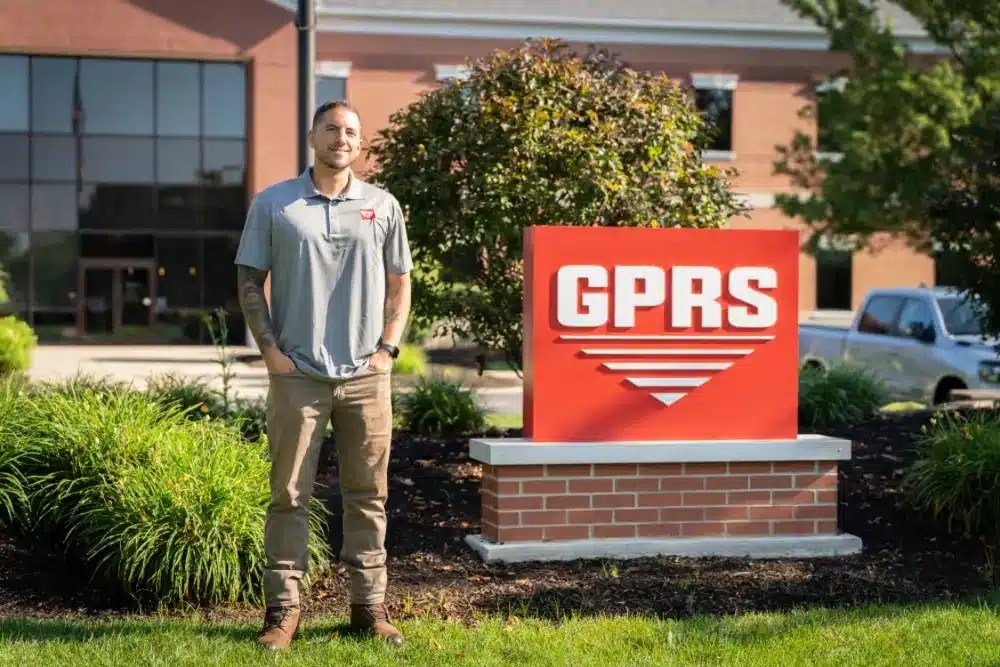
GPRS Project Manager Daniel Sperduti
Sentiment quickly gave way to focus. With incomplete and unreliable as-built records, McCoy Stadium presented the kind of challenge common to aging facilities. To overcome it, Sperduti turned to advanced scanning methods to deliver up-to-date solutions that filled in the gaps.
Using electromagnetic (EM) locating and ground penetrating radar (GPR) scanning, Sperduti identified and mapped all utilities in and around the historic 82-year-old ballpark, which has sat vacant since the Boston Red Sox’s Triple-A affiliate moved to Worcester in 2020. For projects like this, where legacy infrastructure meets future development, solutions like SiteMap® help teams preserve accurate records, streamline planning, and reduce risk.
As Pawtucket moves forward with plans to replace the stadium with a new high school, understanding what lies beneath the surface is essential. Subsurface infrastructure, if left unaccounted for, can lead to costly delays and serious safety risks. While everything above ground is slated for demolition, the utilities below still pose threats, ranging from sinkholes to gas or water main breaks.
“They just wanted to have an idea where things are coming in and leaving the stadium, just for when they tear that down and build [the high school],” Sperduti said. “Now they’ll have a good idea, a good map of where everything is.
Electromagnetic (EM) locators work by detecting signals emitted from metallic pipes and cables. These signals can originate from a transmitter applying current directly to the pipe or from the natural current flow in live electrical lines. In some cases, conductive pipes act like antennas, re-radiating signals from stray electrical fields or from communication transmissions, detected in Radio Mode.
The transmitter creates a signal by sending current through a conductor such as a pipe, cable, or line and back to itself, typically using a ground to complete the circuit. A ground stake is placed to ensure the current flows properly through the earth.
To complement EM locating, GPRS also deploys ground penetrating radar (GPR). GPR scanners emit radio waves into the ground or concrete surfaces, detecting how those waves interact with buried objects like conduit, post-tension cable, or rebar. These interactions appear on the GPR readout as hyperbolas, with their size and shape indicating the type of material detected.
To map McCoy Stadium’s wastewater infrastructure, GPRS deployed remote-controlled sewer inspection rovers equipped with sondes, specialized probes that emit signals detectable from the surface using electromagnetic locating technology.
“There were 10-foot sewer lines that go right underneath the baseball field,” Sperduti said. “So, we used the camera to go inside those lines and find those.”
SiteMap is an all-in-one infrastructure management solution, designed to support teams across industries. It’s serves as a single source of truth, storing accurate GPRS data, from utility locating and concrete scanning to leak detection, video pipe inspection, and 3D laser scanning.
GPRS delivers the perfect pitch, and SiteMap is right there behind the plate, catching every detail and keeping it safe. From there, your records stay organized, and solutions stay ready, so when it’s time to make your next move, you’re already ahead of the game.
“This client, I’ve worked with them before and they actually do have surveyors that come out and map everything also,” Sperduti said. “But they definitely use our maps, our KMZs and SiteMap for future planning and projects. So even if a different company comes in to build the school or something like that, we can work with them through SiteMap and [the stakeholders & facility managers] can use that map too, so they know where things are when they’re about to build. That might be a few years down the road, but whenever that is, they’ll still have access to that info.”
Ready to knock your infrastructure management out of the park? Click below to schedule your live, personal SiteMap demo today!