“We didn’t know you did that,” is a phrase we at GPRS hear daily. We get it; our services have evolved and expanded over the years, and it can be hard to keep track of them all. So we’ve created this explainer to answer the question, “What, exactly does GPRS do?”
GPRS’ main goal is to deliver accurate, actionable data to our clients every day, so their projects can stay on time, on budget, and safe.
![]()
Some of the deliverables you can expect when working with GPRS include:
- High-resolution utility as-builts (PDF or KMZ files)
- Above and below-ground facility and infrastructure mapping
- Conceptual site models (CSM)
- Concrete markings and mapping
- 2D CAD drawings
- 3D models
- As-built creation and existing conditions documentation
- NASSCO-compliant WinCan reports
- Routine water loss surveys
And GPRS’ core services that are used to capture the data we deliver include:
- Utility Locating / Concrete Scanning
- Reality Capture Services
- Video Pipe Inspection Services
- Infrastructure Mapping & Management Services (SiteMap)
- Leak Detection Services
How many of these services are you aware of? If you only recognized a few, keep reading because GPRS probably has a solution that can help you with save money, time, and even lives on your next project.
Utility Locating and Concrete Scanning
This is probably what you know us for because we’ve been providing concrete sawing and drilling clearances for construction projects since 2001, and providing the industry’s most exacting utility locates and maps since 2007. We maintain a consistent 99.8% accuracy rate on both – nationwide.
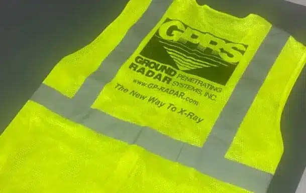
The first vest worn by GPRS founder Matt Aston in 2001.
Any job that involves breaking ground faces the risk of striking utilities or other subsurface obstructions. It is vital to always call your local 811 and hire utility locating professionals, like GPRS, before breaking ground.
Striking utilities or concrete reinforcements like post tension cables can lead to expensive repairs and serious injuries to workers. Because of this, knowing what is below your feet before you dig is very important.
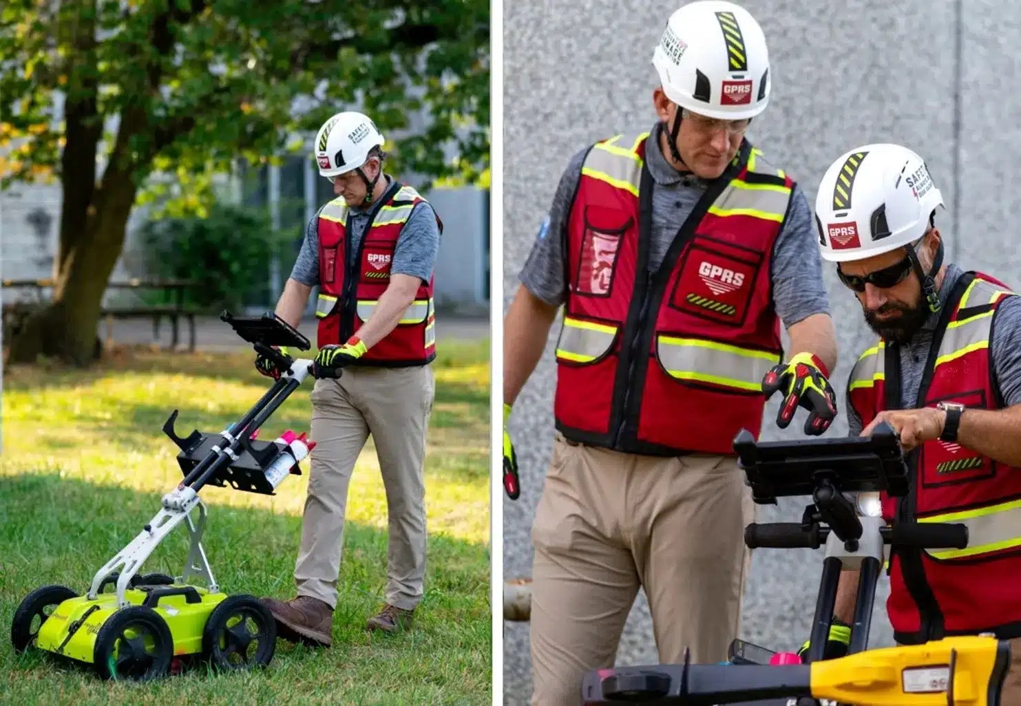
GPRS Project Managers utilize ground penetrating radar (GPR) and electromagnetic (EM) locators to identify subsurface utilities and obstructions within concrete.
Subsurface Investigation Methodology (SIM) is the standard operating procedure used to train every GPRS Project Manager. The guiding principle of SIM is the use of complementary technologies, like GPR and EM locators, to ensure the scan data is accurate. By using these complementary technologies, our SIM-certified Project Managers have maintained 99.8% accuracy on all utility and concrete scans.
The main principle of SIM, the methodology each GPRS Project Manager is trained on and guided by, is to use complementary technologies to ensure the results are accurate.
Some of the main applications of our utility locating and concrete scanning services are:
- Direction drilling clearance
- Environmental due diligence (supports Phase I and II ESAs)
- UST locating
- Soil boring clearance
- Potential voids
- Utility as-built creation
- Excavation clearances on both public & private utility lines
Project Managers mark the ground with spray paint, chalk, or flags using the industry’s universal color code to differentiate various utilities as they scan the site. This gives the client a visual representation of where it is and is not safe to break ground.
Upon the completion of a utility locate, Project Managers use Real-Time Kinematic (RTK) positioning to collect data points and map out the longitude and latitude of the markings. We use the data to create utility maps, CAD files, and KMZ files. Then, we upload them into SiteMap® (patent pending), which we’ll explore in more detail later in the article.
In the summer of 2025, the high-speed GPR array was added to the Project Managers’ toolbelt. It features more than double the number of antennas that typical GPR pushcarts or handheld GPR devices have, which gives it the ability to collect large amounts of data at speeds up to 80 mph. With this new tool, scans across many acres of land or a busy highway only take minutes instead of hours.
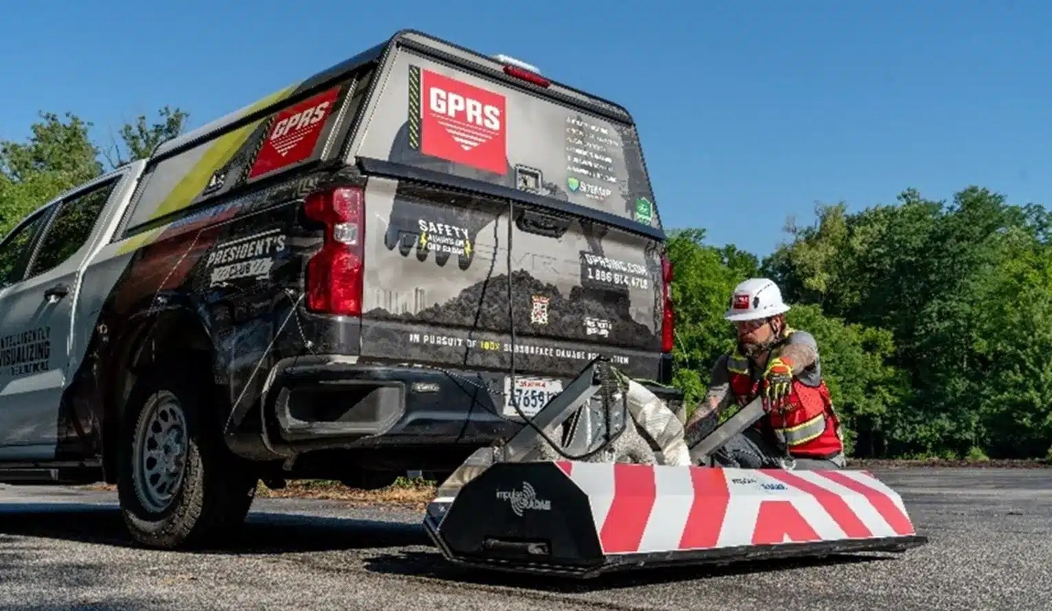
Because of its capabilities at high speeds when attached to a vehicle, the completion of scans across busy highways are made easier with the GPR array because road closures and traffic delays are no longer necessary.
There is no color code when identifying concrete obstructions like post-tension cables, rebar, or conduit. So, we created one: the Green Box Guarantee. When a GPRS Project Manager marks a section of concrete with a green box, that means it is clear of obstructions.
Thank you for reading this excerpt. Read the full article here to explore more of the services GPRS provides and the deliverables you can view directly in SiteMap.
Click below to schedule your free demo today!